Thursday, 27 August 2020

Day 6: Over The Hill

A very varied ride today.  The weather wasn't what was forecast (again), but this time, not in a good way.  A wet blanket of grey cloud and drizzle was draped over the mountains as we set off to the Ardnamurchan peninsula.

A grey Loch Linnhe blocked our path, so an indirect route seemed best   Ten miles on the Road to the Isles, five stars on Trip Advisor, but only one star was awarded by us for a rather straight and boring road.

Our route then followed the remote A861, a scenic 80 mile road whose two ends are only 15 miles apart.

Loch Eil

Ten damp miles along the other side of Loch Eil bought us to our elevenses stop, at Camusnagaul, almost back where we started, but the other side of Loch Linnhe.

No cafe, so we went for the slightly mushy bananas, washed down with cool water.   The drizzle kept threatening to stop but never managed it.  Another ten miles down Loch Linnhe and it was lunchtime at the Inn at Ardgour.  It was closed, so lunch was a Tescos sandwich, sitting outside the inn and watching cars and massive logging trucks manoeuvre onto the small Corran ferry.

Loch Linnhe

As we toiled over the pass to Loch Sunart, appropriately, the sun came out.   By teatime we were at the village of Strontian (where the element Strontium gets its name from), sitting outside the Sunart cafe in the warm sunshine. It was so hot that Dave nearly took his arm warmers off.  The cafe was closed, of course, as it was 2.58pm and the cafe closed at 3pm.  We made do with Paradise slices and chocolate crispy squares from the shop - Strontian was the first place with a shop for about 45 miles.

Loch Sunart

The last ten miles winding along Loch Sunart were gorgeous, if hilly.  Heathery crags alternated with moss-carpeted stone walls protecting us from precipices.  Occasionally we'd get a glittering vista of the loch through woods of oak or silver birch.


Dave's puncture reappeared.  But with only a "few" miles to go,  and only a few stops to pump it up, we arrived at Salen, our destination, just in time for a pint and an early evening meal at the Salen Hotel.   

Sitting outside in hot sun, we had amazing views down the loch, if you craned your neck and crossed to the other side of the road. Also a few midges were gathering for their evening meal,  so we finished our pints and reluctantly ate inside.

View from the Salen Hotel

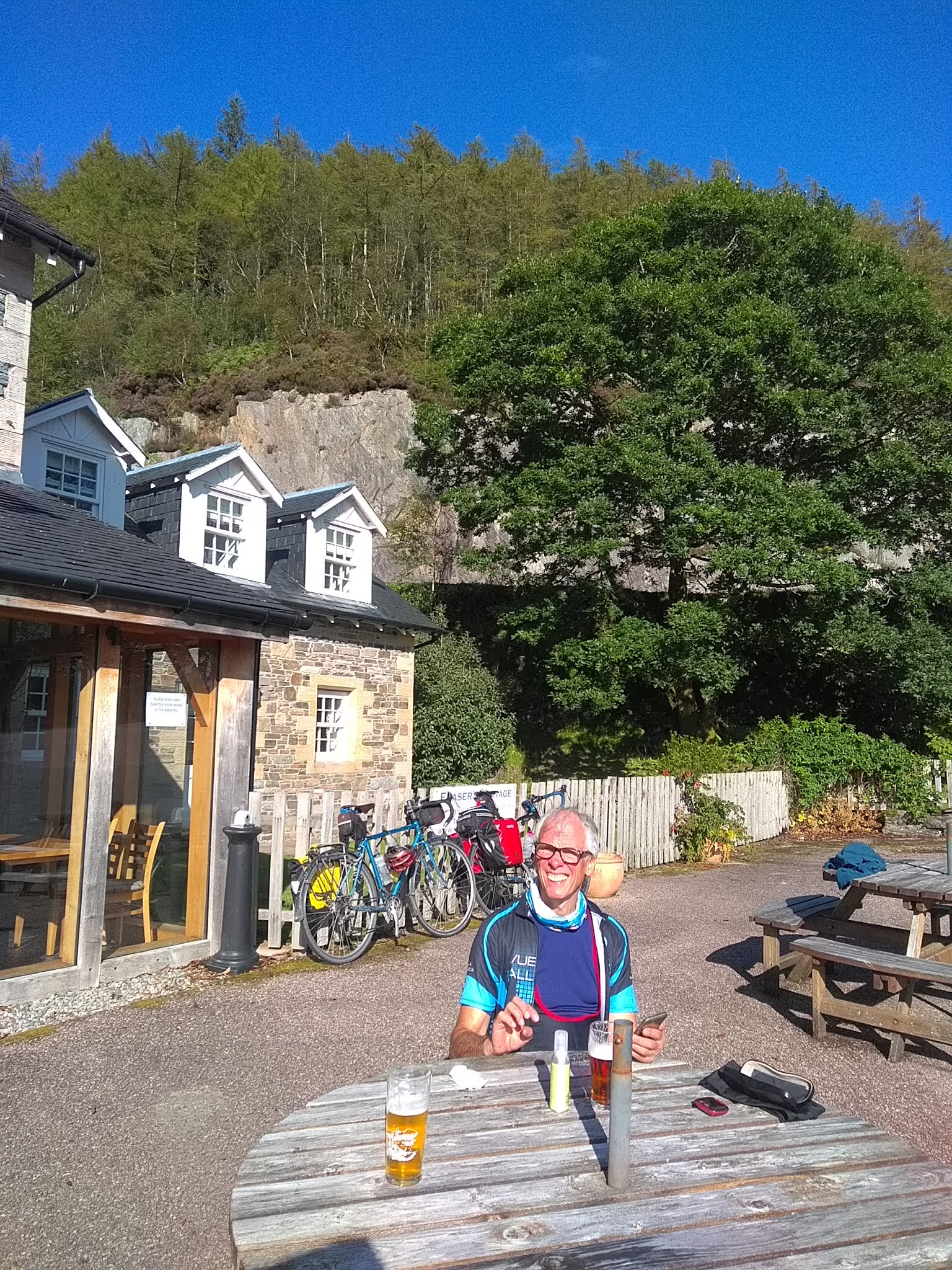
Happy customer

Salen is only a small place.  It has just one B&B, called Salen B&B - about four doors down the steep hill from the Salen hotel.  A warm welcome, a hot shower, all was well.  Well, mostly. There's no TV reception (no big loss), no mobile reception, and the internet is intermittent.  The electricity has gone off a couple of times.   But it's not raining.  Yet..

Front garden of Salen B&B, with water feature


Interesting elevation chart...?

Wednesday, 26 August 2020

Simon, Dave and the Blustery Day

Day 5 - Fort William to Fort Augustus, out and back

After our ride yesterday, and we had checked into our hostel, we set out to get something to eat. This proved to be more challenging and infinitely less enjoyable than the days ride. Every food establishment had queues at the door or were turning people away.....apparently Rishi Sunak's Eat Out to Help Out was proving a huge success in Fort William.

We eventually managed to get into Wetherspoons, as one of the last to be allowed in...at 8.30pm!!. Limitations on the numbers allowed on the premises, limitations on the number of staff allowed in the kitchen, the difficulties of getting staff back to work are all having a huge impact on business, and to see it happening in full effect was a bit of an eye-opener. Even the usual 'Spoons efficiency was being tested and our food took nearly 40 minutes to arrive.

Whilst waiting for the food, we contemplated today's ride, with Storm Francis uppermost in our minds... should we abandon and stay safe?, what to do in Fort William on a spare day?.....go to Ben Nevis?...not likely in a storm, similarly with anything out on the water.....or start queuing early for tonight's food?

We decided to see what the morning brought and take it from there. So, morning came, overcast but dry with a strong breeze blowing from the north. As our planned ride for the day was to head north following the Great Glen up to Fort Augustus at the bottom end of Loch Ness, a northerly wind was not especially welcome....on the other hand it might just keep the impending storm further south.

We set off and were soon following the NC78 again, this time following the Great Glen Way as it tracked alongside the Caledonian Canal. A few miles outside Fort William the canal path crossed the railway line at Banavie station, and once again our luck was in with respect to train times....just as we got there the Ft. William to Mallaig steam train, also known as the Hogwarts Express for all Harry Potter fans, came through the station.


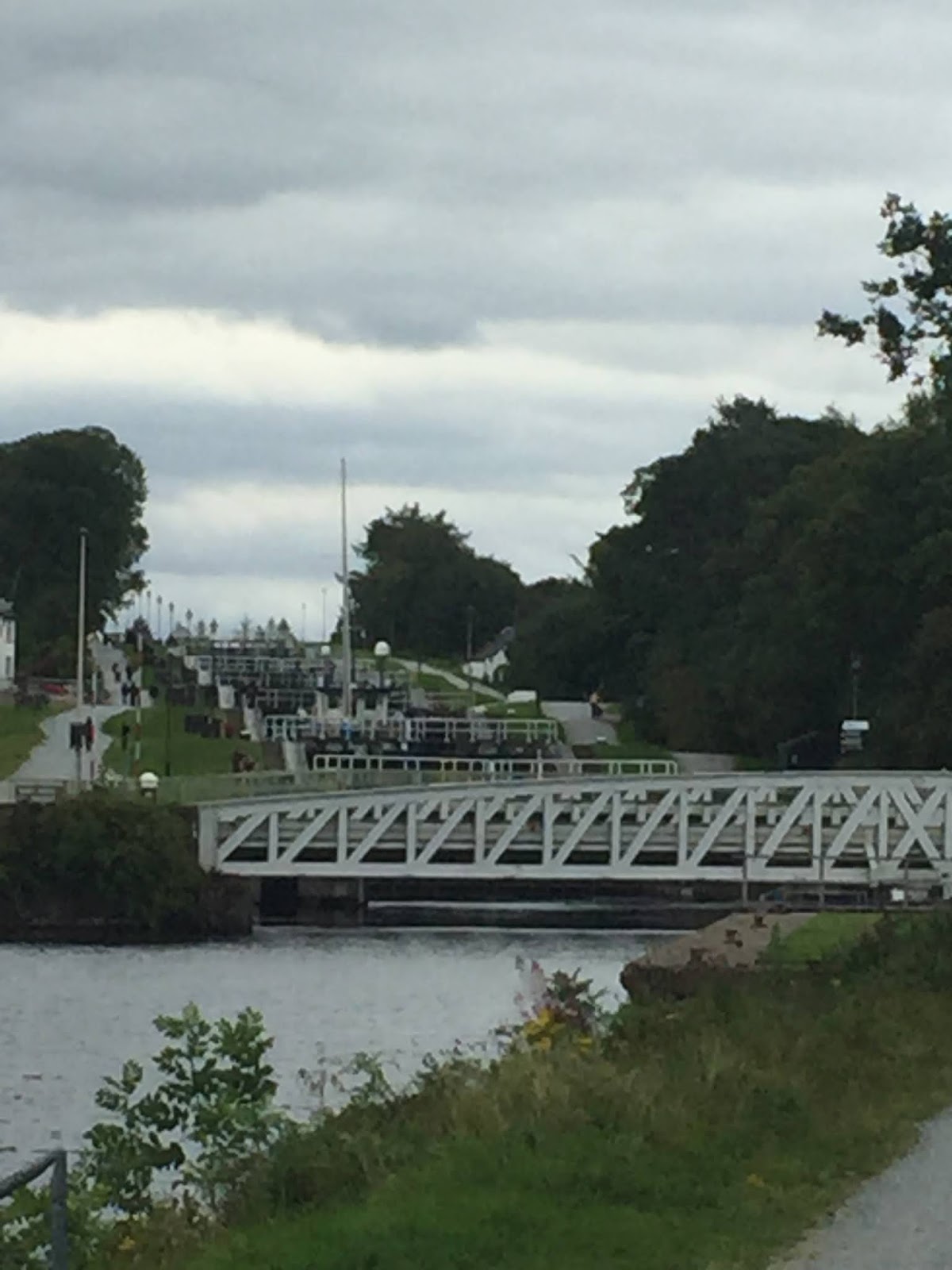
Just past the station is Neptune's Staircase, an impressive flight of locks, which allows the canal to rise up to follow the landscape. We continued along NC78 as it followed the canal towpath to Gairlochy, where it veered off into the forest.


What followed was 10 miles or so of the least enjoyable cycling I have ever done.....an extremely rough forestry track, that was strewn with rocks of all shapes and sizes, never flat, constantly very steeply up or down. This would have been a challenge on a proper fat-tyre mountain bike, on a road
bike with 25mm tyres with very little tread, it was an ordeal.

Eventually, our torture came to end as we arrived at Laggan Lock, where at least we could get a drink in one of the 2 cafes.....except both were closed. The Barge Cafe had not re-opened after COVID, and the Laggan Lock Cafe was in dispute with the landowner and not operating. The next cafe was not until Fort Augustus, a further 15 miles up the road. That is when our guardian angel appeared in the shape of Rob Stephens,  a Bristolian recent retiree who was enjoying his new found freedom by undertaking a solo kayak trip from Ft William to Inverness, who offered to make us a couple of very welcome cappuccinos.

We enjoyed his hospitality for a while and chatted about our respective journeys, whilst considering our options. Neither of us had enjoyed the previous forest excursion, and it was around the time that the big storm was due to hit area. We had had some spells of intermittent drizzle but the big rain was due soon and we debated whether to carry on, not knowing if another off-road forest section awaitsus and knowing we were about to get drenched, or whether to turn back now.

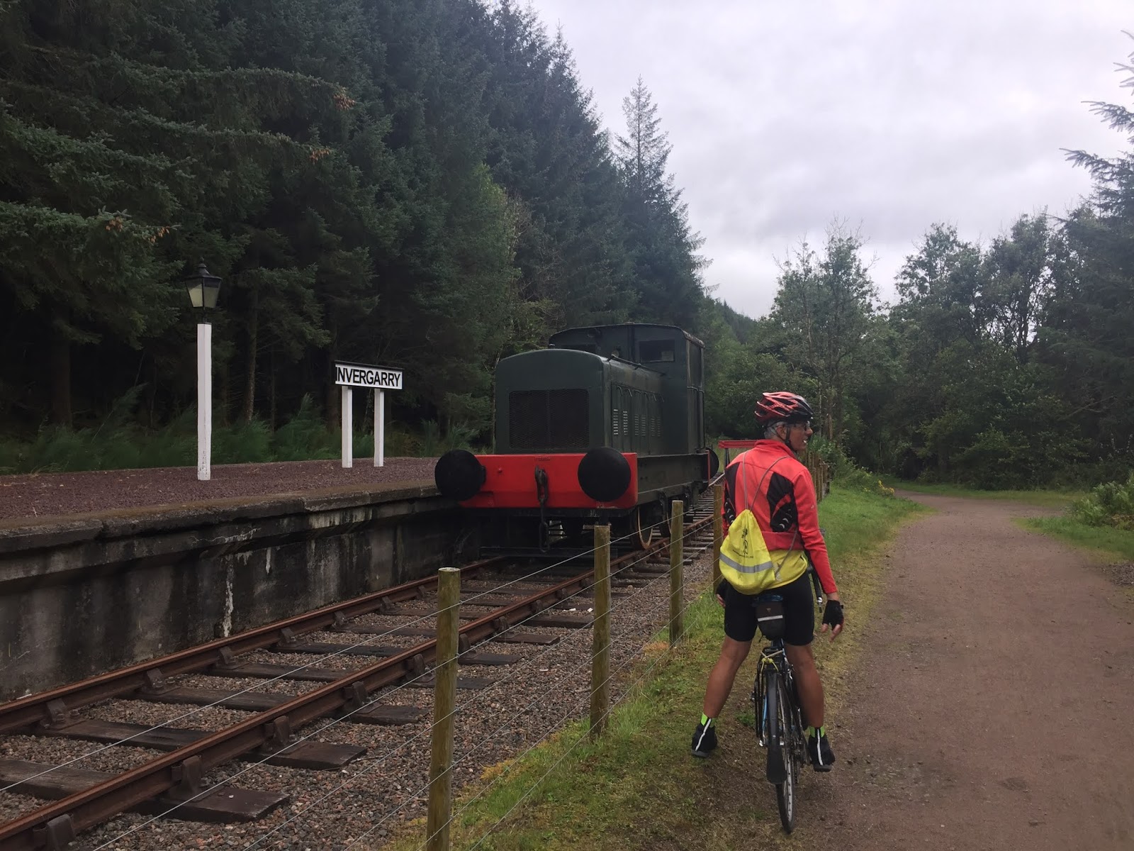
We decided to give the next section a try and would turn back if either felt they didn't want to go on....and what a good decision that turned out to be. After a short section through some woodland alongside the canal, we came out on to the track bed of the old Invergarry to Fort Augustus railway, and after stopping for some photos and a chat with 2 of the guys who are restoring it by hand and with no financial backing, we then had 4 miles along the cycle track following the old railway route, and then 5 miles back on the canal towpath into Fort Augustus.


Fort Augustus was very busy......obviously the thing to do on a day when a big storm was brewing is to go to see if you can spot the monster hiding in Loch Ness!!.

We went to the viewpoint for the obligatory photo, and looked at the huge waves being made by the wind, and thought of our new friend Rob, having to paddle the whole length of it at some point in the next few days.


Our ride back was pretty much the same ride in the other direction, but now with the north wind

behind us. We followed the canal and the railway track back to Laggan Locks, where we stopped for a quick chat about the next bit......back via the ordeal of the forestry track, or straight down the main road for 13 miles. We chose the road.

One of the reasons that I had hated the forest route so much was that every single moment on it felt like there was a puncture waiting to happen, and the road surface on the alternative option was so good that it would not offer the same threats. Of course you all know what happened....I got a puncture on the road.

It was fixed quite quickly, and we were on our way again, stopping briefly at the Commando Memorial at Spean Bridge. We picked up the canal tow-path again and re-traced our outward route back into Fort William.

It was a long day, departing just after 9am and getting back until 7pm. Yes we had strong winds. Yes we got wet, but the rain was mainly of the intermittent drizzly kind, only be coming more persistent for the last hour or so, and the biblical apocalypse that had been forecast for Storm Francis, and had our friends and families sending us messages to take care, never materialised.

And, dinner for the night?... We made sure we booked somewhere this time!

69 miles, 2600 feet of climbing, 1 puncture, 1 new friend.


Monday, 24 August 2020

Day 4: Oban to Fort William

Perfect cycling weather today - cool, light winds and sunny, and crystal clear air, a welcome change from the recent grey misty murk.

Oban

McCaig's tower

Before breakfast, we cycled up to McCaig's tower, a Coliseum-like structure on a hill overlooking Oban, with great views of the natural harbour and over to Mull.  Breakfast was porridge, beans on toast and lashings of tea and coffee, total price £5.50 for two, care of JD Wetherspoon and Rishi Sunak.

We were a bit alarmed to discover that the beautiful, vertiginous descent into Oban yesterday was also our route out of town. By the time we'd ridden 4 miles we had clocked up nearly 200 metres of ascent, but it got more sensible after that.  

There's a disused railway line between Oban and Fort William and we joined that after about 7 miles - riding close to the loch shore on smooth tarmac.  NCN 78, the Caledonian Way,  goes all the way to Fort William, hopping on and off the railway line whenever someone hadn't built a house on the line or whatever.  There weren't many cafes en route, and some were closed on Mondays, so we took a very hilly detour to Port Appin, overlooking the isle of Lismore, with a restaurant that, fortunately, was fully booked. 

Beside Loch Linnhe


Arty photos
Less arty

Fortunate for us, because we remembered that we only had a few hours to do the remaining 30 miles to catch the last ferry to Fort William, or face 20 miles extra to get there. So we got a few snacks in the post office and set off in a hurry.  No more stops for attempts at arty photos.  Still on the railway line some of the time, but when we weren't, it was surprisingly hilly for a lochside route.

Castle Stalker, as in Monty Python
& The Holy Grail

The old railway line left us at about 40 miles and we had a few miles of segregated but grim cycle track, on a narrow pavement facing fast oncoming traffic.  For the last ten miles we crossed Loch Linnhe on the (free) Corran ferry, and cycled up a delightful quiet road, avoiding the main Fort William road before crossing back to Fort William on a small passenger ferry (£3 each), our bikes lashed to the top.

Corran Ferry
Fort William, with Snowdon behind.

Camusnagaul to Fort William ferry

After a surprisingly luxurious hostel in Oban, the one in Fort William is perhaps more like what you'd expect, but it's right on the High Street, so a night on the town beckons.

Total distance today: 57.5 miles with 834m of ascent


Sunday, 23 August 2020

Day 3, Inverary to Oban : A less eventful day.....

After yesterday's re-routing following the closure of the Rest and Be Thankful pass, and our lovely long descent down into Inverary, it dawned on us that for today's route we had to go back the same way. The thought of a near-8 mile climb to start the day definitely did not fill us with joy!!

Apart from the 13% ramp no more than a few hundred yards from our hostel, it didn't turn out anywhere near as bad as it sounds. The first 7 miles or so were undulating whilst gradually going up, never more than 2-3% gradient, and only in the last half-mile it did it go above 5%.

Is there such a thing as a nice climb?......If there is a nice way to climb 650 feet, then this was it.

The climb had warmed us up, but the temperature had taken a distinct drop overnight, and it was markedly cooler this morning, and the descent back down towards the main A85 Glasgow to Oban road began to feel distinctly autumnal.


We stopped for 11's at the village store in Loch Awe (very nice bacon roll, heavy on the bacon for a change), and had just got going again when we decided to stop and have a look at St. Conan's Kirk just on the way out of Loch Awe....there weren't many other places of interest on our route that weren't provided by nature, so we thought we'd have a look at this one.....lovely little church, non-denominational, built by a local architect and landowner in the 1880's, currently being renovated.
Mostly it will be remembered by us as the place we just happened to be inside when a massive downpour happened.....we happily spent a bit more time under the new roof in the church whilst nature did its worst outside.


Once the rain had abated, we shared the main A85 for the next few miles with speeding cars, all seemingly in a hurry to be somewhere on a Sunday morning, and a few lorries who got just a little bit too close until, we reached Taynuilt, where we turned off onto the NC78 towards Oban. This turned out to be 12 miles of lovely single track road through Glen Lonan, a mixture of woods, fields and isolated farmhouses.....a very welcome change after the A85.


Once again, we found our intended route blocked.....

On arriving into Oban, we made our way through the town centre, and rode up to the viewpoint on the top of Pulpit Hill, for a fabulous panoramic view over the town and out to the islands......and the sun even came out, just for a minute!. A fine end to a good ride.

41 miles in total, with 2600 feet of hills.


Inveraray

 Leaving the train yesterday, we cycled down a bit of loch Awe before climbing over and down a satisfying eight mile descent to Inveraray, on Loch Fyne, the fourth loch of the day.

There was a bit of sun, and Inveraray's white buildings shone like a jewel against grey clouds and loch.


Saturday, 22 August 2020

Day 2. Is this the road to Inveraray?

The answer, unfortunately, was "not today", which led to a day which was rather too exciting.  It's a bit of an epic story, but you can probably guess what happened.

There's an obvious route from Helensburgh to Inveraray, which involves going over the Rest And Be Thankful pass, famous for a big hill and great views from the top.   On August 9th, it was closed by a massive landslide caused by torrential rain (while London was having a heatwave).  Not to worry: within a few days they had cleared and opened the old road, called the Old Military Road, which runs just alongside this vital route.

The night before we left for our trip, I checked up on it.   It was closed again due to heavy rain and risk of landslides.

Panic.

Luckily they said it was just a night-time closure, and they were operating a one-way convoy system.   Another panic.  How would heavily laden bikes keep up with the convoy?  Were bikes even allowed?

It seemed likely, but not certain, that bikes were allowed. This was a problem, because the alternative route was a 58 mile diversion along a very busy road - the main road from Glasgow to Oban.  Another alternative route involved two ferries and a 64 mile trip, but you had to set out in a different direction fairly early in the ride. 

I asked my son Tim, who knows his way round Scotland pretty well, to make enquiries in the morning, and had a restless night's sleep before getting up at 5am to ride into London.

We were still on the train when Tim texted the answer: Transport for Scotland recommends that biles go in the van that leads the convoy up the hill.  Gold star for Tim, but obviously we were gutted not to be able to ride up such a big hill.

The road was still closed however (more rain).  Am inspection at 9am today would decide if it opened.

So (at last), here's what happened.  A lengthy breakfast while we waited for the results of the course inspection.  It was open!  So off we set, alongside Gareloch, past Faslane and all the trappings of a nuclear sub base: big 'boathouse', barbed wire, electric fences, footbal pitches, fuel dump, arms dump, waste segregation facility, firefighting foam store, no drone zone, cemetery.

A nasty 15% hill at Garelochhead, and over to Loch Long. Lovely undulating road alongside the loch, which was, well, long.

Loch Long
Loch Long, with the Arrochar Alps behind


Nice takeaway stop at the head of the loch in Arrochar. Round the corner there was a sign: A83 CLOSED.  We knew better, besides by then we were committed.  At the foot of the hill, another sign and a van, which we took to be the convoy van. Wrongly.

There had been another landslide around 10.30, and the road was closed again, at least for today. 

We had done 20 miles, it was 1pm, raining slightly, and we couldn't get over Rest And Be Thankful for the next 20 miles to Inveraray and our hostel.  Miserable, we considered our options.  1. The official diversion, 58 miles along the very busy main road to Oban road. 2.  The quieter route via crossing the Clyde twice to get to Dunoon, retracing our route a bit, so another 68 miles.  3. Get the train quite a long way to Dalmally, north of Inveraray, and cycle from there.

We caught the train.  We didn't know it, but there are only three trains a day. Luckily we only waited five minutes, enjoyed a  beautiful journey showcasing some of Scotland's finest scenery, and we were in Inveraray by 4pm. Hooray.

Bike storage on the train
Hill

Mileage (excluding train) 44.2 miles, 642m ascent. Stress level: briefly High.